
Hausruck topographic map
Interactive map
Click on the map to display elevation.
About this map
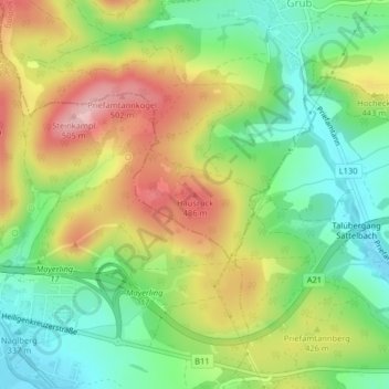
Name: Hausruck topographic map, elevation, terrain.
Average elevation: 1,306 ft
Minimum elevation: 1,043 ft
Maximum elevation: 1,650 ft
Other topographic maps
Click on a map to view its topography, its elevation and its terrain.
Grub
Österreich > Niederösterreich > Bezirk Mödling > Gemeinde Wienerwald
Grub, Gemeinde Wienerwald, Bezirk Mödling, Niederösterreich, 2392, Österreich
Average elevation: 1,345 ft