
Серменево topographic map
Interactive map
Click on the map to display elevation.
About this map
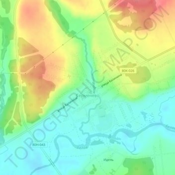
Name: Серменево topographic map, elevation, terrain.
Average elevation: 1,594 ft
Minimum elevation: 1,496 ft
Maximum elevation: 1,742 ft
Other topographic maps
Click on a map to view its topography, its elevation and its terrain.
Кага
Russie > Bachkortostan > Белорецкий район
Кага, Кагинский сельсовет, Белорецкий район, Bachkortostan, District fédéral de la Volga, 453523, Russie
Average elevation: 1,460 ft