
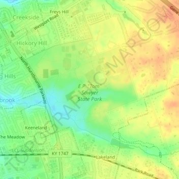
E.P. "Tom" Sawyer State Park topographic map
Interactive map
Click on the map to display elevation.
About this map
Name: E.P. "Tom" Sawyer State Park topographic map, elevation, terrain.
Average elevation: 686 ft
Minimum elevation: 617 ft
Maximum elevation: 741 ft