
Thank you for supporting this site ❤️
Make a donation
Make a donation
Gear up for your next adventure:
As an Amazon Associate, this site earns from qualifying purchases at no extra cost to you.
Rodriguez topographic map
Click on the map to display elevation.
Thank you for supporting this site ❤️
Make a donation
Make a donation
Gear up for your next adventure:
As an Amazon Associate, this site earns from qualifying purchases at no extra cost to you.
About this map
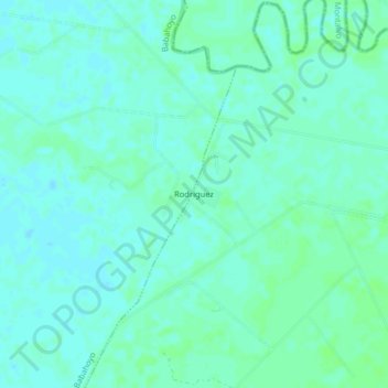
Name: Rodriguez topographic map, elevation, terrain.
Location: Rodriguez, Febres Cordero, Babahoyo, Los Ríos, Ecuador (-1.89235 -79.44194 -1.85235 -79.40194)
Average elevation: 33 ft
Minimum elevation: 20 ft
Maximum elevation: 43 ft
Thank you for supporting this site ❤️
Make a donation
Make a donation
Gear up for your next adventure:
As an Amazon Associate, this site earns from qualifying purchases at no extra cost to you.