
East Shelburne topographic map
Interactive map
Click on the map to display elevation.
About this map
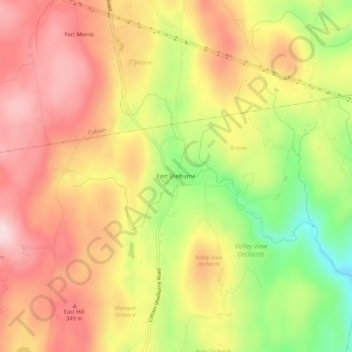
Name: East Shelburne topographic map, elevation, terrain.
Average elevation: 886 ft
Minimum elevation: 312 ft
Maximum elevation: 1,306 ft
Other topographic maps
Click on a map to view its topography, its elevation and its terrain.
Shelburne Falls
United States > Massachusetts > Franklin County > Shelburne
Shelburne Falls, Shelburne, Franklin County, Massachusetts, 01370, United States
Average elevation: 738 ft