
West topographic map
Interactive map
Click on the map to display elevation.
About this map
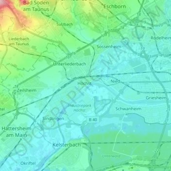
Name: West topographic map, elevation, terrain.
Location: West, Frankfort aan de Main, Hessen, Duitsland (50.06177 8.47276 50.13441 8.62191)
Average elevation: 371 ft
Minimum elevation: 289 ft
Maximum elevation: 807 ft