
Yatchil San Fernando topographic map
Interactive map
Click on the map to display elevation.
About this map
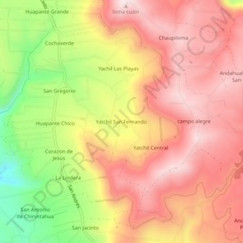
Name: Yatchil San Fernando topographic map, elevation, terrain.
Average elevation: 9,856 ft
Minimum elevation: 8,937 ft
Maximum elevation: 10,433 ft