
Har HaCarmel Nature Reserve Extension Kelah-Galim topographic map
Interactive map
Click on the map to display elevation.
About this map
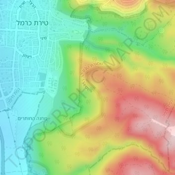
Name: Har HaCarmel Nature Reserve Extension Kelah-Galim topographic map, elevation, terrain.
Average elevation: 492 ft
Minimum elevation: 56 ft
Maximum elevation: 1,148 ft