
Le Matre topographic map
Interactive map
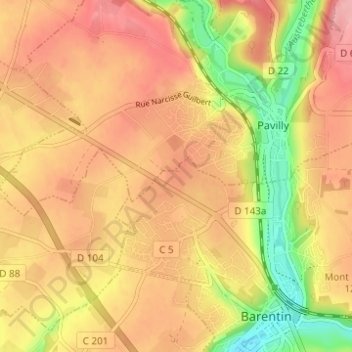
Click on the map to display elevation.
About this map
Name: Le Matre topographic map, elevation, terrain.
Average elevation: 348 ft
Minimum elevation: 121 ft
Maximum elevation: 489 ft
Other topographic maps
Click on a map to view its topography, its elevation and its terrain.
Les Campeaux
France > Normandie > Seine-Maritime > Barentin
Les Campeaux, Barentin, Rouen, Seine-Maritime, Normandie, France métropolitaine, 76360, France
Average elevation: 318 ft