
Tarpa topographic map
Interactive map
Click on the map to display elevation.
About this map
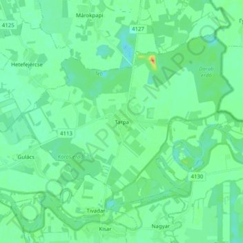
Name: Tarpa topographic map, elevation, terrain.
Average elevation: 364 ft
Minimum elevation: 335 ft
Maximum elevation: 463 ft
Other topographic maps
Click on a map to view its topography, its elevation and its terrain.
Nyírtass
Hongrie > Szabolcs-Szatmár-Bereg megye > Nyírtass
Nyírtass, Kisvárdai járás, Szabolcs-Szatmár-Bereg megye, Grande plaine et nord, 4522, Hongrie
Average elevation: 348 ft
Tiszakóród
Hongrie > Szabolcs-Szatmár-Bereg megye > Tiszakóród
Tiszakóród, Fehérgyarmati járás, Szabolcs-Szatmár-Bereg megye, Grande plaine et nord, 4946, Hongrie
Average elevation: 377 ft