
Winston topographic map
Interactive map
Click on the map to display elevation.
About this map
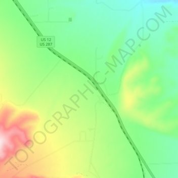
Name: Winston topographic map, elevation, terrain.
Location: Winston, Broadwater County, Montana, 59647, United States (46.45286 -111.68204 46.50726 -111.63955)
Average elevation: 4,380 ft
Minimum elevation: 3,970 ft
Maximum elevation: 5,171 ft