
Isernia topographic map
Interactive map
Click on the map to display elevation.
About this map
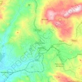
Name: Isernia topographic map, elevation, terrain.
Location: Isernia, IS, Molise, 86170, Italie (41.54653 14.16157 41.67572 14.27703)
Average elevation: 2,077 ft
Minimum elevation: 827 ft
Maximum elevation: 4,544 ft