
Pundori topographic map
Interactive map
Click on the map to display elevation.
About this map
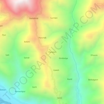
Name: Pundori topographic map, elevation, terrain.
Location: Pundori, Pauri Garhwal, Uttarakhand, India (29.96657 78.67084 30.00657 78.71084)
Average elevation: 3,465 ft
Minimum elevation: 1,719 ft
Maximum elevation: 5,860 ft