Geolocate

Calamocha topographic map

Click on the map to display elevation.

About this map
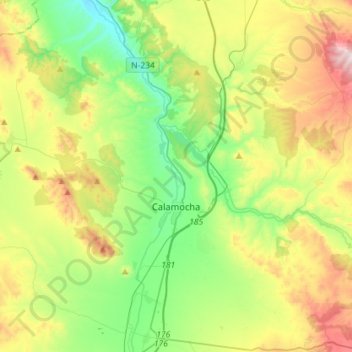
Name: Calamocha topographic map, elevation, terrain.

Location: Calamocha, Jiloca, Teruel, Aragon, Spain (40.84484 -1.38453 41.03253 -1.09873)

Average elevation: 3,333 ft

Minimum elevation: 2,572 ft

Maximum elevation: 4,731 ft

Gear up for your next adventure:

🪑Portable Camp Table - Compact table for campsite meals
🥾Men's Hiking Boots - Durable, waterproof footwear for rugged terrain and steep inclines
📶Vehicle Signal Boosters - Improve reception in rural areas while driving to trailheads
🗺️Topographic Maps - Detailed topo maps for hiking, exploring and outdoor navigation
🧭Compass with Lanyard - Easy‑carry compass for navigation

As an Amazon Associate, this site earns from qualifying purchases at no extra cost to you.