
Berriane topographic map
Interactive map
Click on the map to display elevation.
About this map
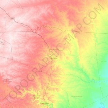
Name: Berriane topographic map, elevation, terrain.
Location: Berriane, Daïra Berriane, Ghardaïa, Algérie (32.63957 3.21170 33.07101 4.17307)
Average elevation: 1,955 ft
Minimum elevation: 1,171 ft
Maximum elevation: 2,641 ft