
Ouled Chbana topographic map
Interactive map
Click on the map to display elevation.
About this map
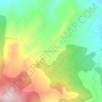
Name: Ouled Chbana topographic map, elevation, terrain.
Location: Ouled Chbana, El Ancer, Daïra El Ancer, Jijel, Algérie (36.71686 6.09686 36.75686 6.13686)
Average elevation: 1,604 ft
Minimum elevation: 630 ft
Maximum elevation: 2,956 ft