
Poortugaal topographic map
Interactive map
Click on the map to display elevation.
About this map
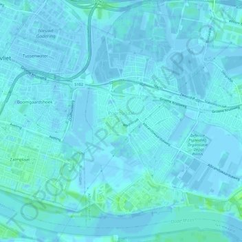
Name: Poortugaal topographic map, elevation, terrain.
Location: Poortugaal, Albrandswaard, Südholland, Niederlande (51.84007 4.38323 51.87320 4.42375)
Average elevation: 3 ft
Minimum elevation: -13 ft
Maximum elevation: 33 ft