
City and County of Broomfield topographic map
Interactive map
Click on the map to display elevation.
About this map
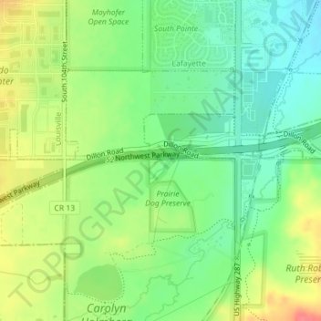
Name: City and County of Broomfield topographic map, elevation, terrain.
Location: City and County of Broomfield, Colorado, USA (39.95620 -105.10908 39.95912 -105.09073)
Average elevation: 5,266 ft
Minimum elevation: 5,180 ft
Maximum elevation: 5,384 ft