
Pulau Sibu topographic map
Interactive map
Click on the map to display elevation.
About this map
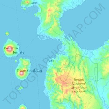
Name: Pulau Sibu topographic map, elevation, terrain.
Location: Pulau Sibu, Ternate, North Maluku, Indonesia (0.45267 127.27616 1.09267 127.91616)
Average elevation: 436 ft
Minimum elevation: 0 ft
Maximum elevation: 5,627 ft
Other topographic maps
Click on a map to view its topography, its elevation and its terrain.
Moti Island
Indonesia > North Maluku > Ternate
Moti Island, Ternate, North Maluku, Indonesia
Average elevation: 479 ft