
Villa Fatima topographic map
Interactive map
Click on the map to display elevation.
About this map
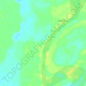
Name: Villa Fatima topographic map, elevation, terrain.
Location: Villa Fatima, Provincia Abel Iturralde, LPZ, Bolivia (-13.88786 -67.53276 -13.84786 -67.49276)
Average elevation: 561 ft
Minimum elevation: 528 ft
Maximum elevation: 600 ft