
Limon topographic map
Interactive map
Click on the map to display elevation.
About this map
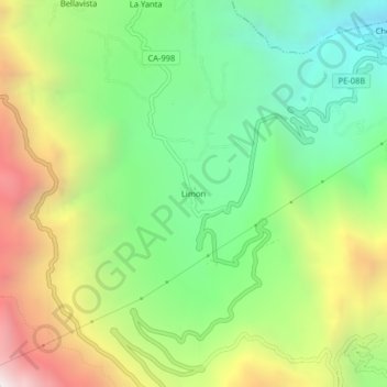
Name: Limon topographic map, elevation, terrain.
Location: Limon, Utco, Celendín, Cajamarca, Perú (-6.89132 -78.10885 -6.85132 -78.06885)
Average elevation: 7,372 ft
Minimum elevation: 5,036 ft
Maximum elevation: 10,961 ft