
Thenzawl topographic map
Interactive map
Click on the map to display elevation.
About this map
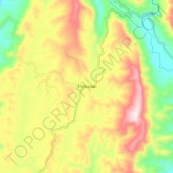
Name: Thenzawl topographic map, elevation, terrain.
Location: Thenzawl, Serchhip, Serchhip District, Mizoram, 796186, India (23.24128 92.73534 23.32128 92.81534)
Average elevation: 2,421 ft
Minimum elevation: 1,339 ft
Maximum elevation: 3,612 ft