
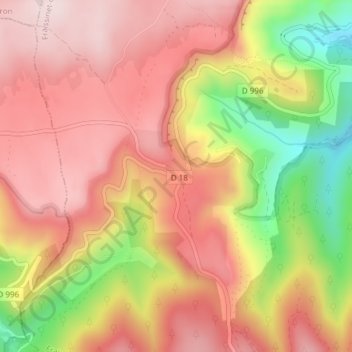
Col de Perjuret topographic map
Interactive map
Click on the map to display elevation.
About this map
Name: Col de Perjuret topographic map, elevation, terrain.
Average elevation: 3,215 ft
Minimum elevation: 2,444 ft
Maximum elevation: 3,681 ft
Other topographic maps
Click on a map to view its topography, its elevation and its terrain.
Fraissinet-de-Fourques
France > Occitanie > Fraissinet-de-Fourques
Fraissinet-de-Fourques, Florac, Lozère, Occitanie, France métropolitaine, 48400, France
Average elevation: 3,232 ft