
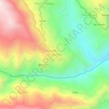
Chulumani topographic map
Interactive map
Click on the map to display elevation.
About this map
Name: Chulumani topographic map, elevation, terrain.
Location: Chulumani, Provincia Sud Yungas, LPZ, Bolivia (-16.42991 -67.54563 -16.38991 -67.50563)
Average elevation: 5,440 ft
Minimum elevation: 4,032 ft
Maximum elevation: 7,234 ft