
Yakutat topographic map
Interactive map
Click on the map to display elevation.
About this map
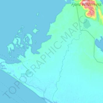
Name: Yakutat topographic map, elevation, terrain.
Location: Yakutat, Alaska, Vereinigte Staaten von Amerika (59.44255 -139.86322 59.70292 -139.40012)
Average elevation: 108 ft
Minimum elevation: -23 ft
Maximum elevation: 3,419 ft