
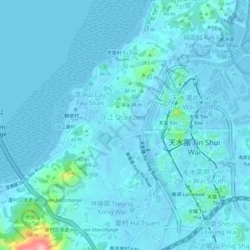
沙江圍仔 topographic map
Interactive map
Click on the map to display elevation.
About this map
Name: 沙江圍仔 topographic map, elevation, terrain.
Location: 沙江圍仔, 沙江圍, 元朗區, 新界, 香港, 中国 (22.44304 113.97026 22.48304 114.01026)
Average elevation: 39 ft
Minimum elevation: -56 ft
Maximum elevation: 591 ft