
钢山街道 topographic map
Interactive map
Click on the map to display elevation.
About this map
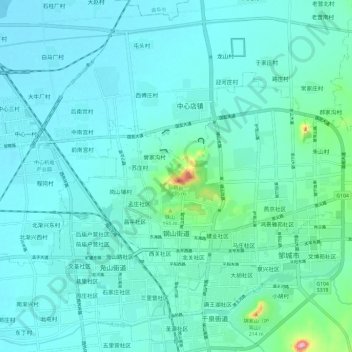
Name: 钢山街道 topographic map, elevation, terrain.
Location: 钢山街道, 邹城市, 济宁市, 山东省, 中国 (35.39621 116.93270 35.45295 117.05059)
Average elevation: 243 ft
Minimum elevation: 151 ft
Maximum elevation: 883 ft
Other topographic maps
Click on a map to view its topography, its elevation and its terrain.