
Emsdetten topographic map
Interactive map
Click on the map to display elevation.
About this map
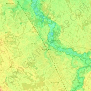
Name: Emsdetten topographic map, elevation, terrain.
Average elevation: 148 ft
Minimum elevation: 95 ft
Maximum elevation: 190 ft
Other topographic maps
Click on a map to view its topography, its elevation and its terrain.
Ibbenbüren
Allemagne > Rhénanie-du-Nord-Westphalie > Kreis Steinfurt
Ibbenbüren, Kreis Steinfurt, Rhénanie-du-Nord-Westphalie, Allemagne
Average elevation: 266 ft