
Río Seco topographic map
Interactive map
Click on the map to display elevation.
About this map
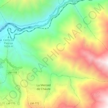
Name: Río Seco topographic map, elevation, terrain.
Location: Río Seco, Santiago de Tuna, Huarochirí, Lima, Peru (-11.94091 -76.52829 -11.90194 -76.45803)
Average elevation: 7,946 ft
Minimum elevation: 4,688 ft
Maximum elevation: 12,933 ft