
东陵满族乡 topographic map
Interactive map
Click on the map to display elevation.
About this map
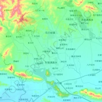
Name: 东陵满族乡 topographic map, elevation, terrain.
Location: 东陵满族乡, Zunhua, Tangshan, Hebei, China (40.12004 117.56704 40.20690 117.74812)
Average elevation: 377 ft
Minimum elevation: 79 ft
Maximum elevation: 1,749 ft