
Eagle Island Marine State Park topographic map
Interactive map
Click on the map to display elevation.
About this map
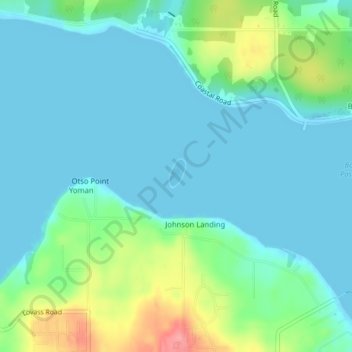
Name: Eagle Island Marine State Park topographic map, elevation, terrain.
Average elevation: 69 ft
Minimum elevation: -16 ft
Maximum elevation: 305 ft