
Santivañez topographic map
Interactive map
Click on the map to display elevation.
About this map
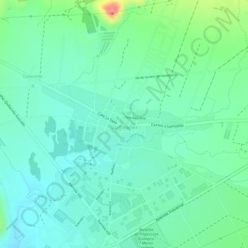
Name: Santivañez topographic map, elevation, terrain.
Location: Santivañez, Santiváñez, Capinota, Cochabamba, Bolivia (-17.55429 -66.25802 -17.54529 -66.23812)
Average elevation: 8,376 ft
Minimum elevation: 8,294 ft
Maximum elevation: 8,589 ft
Se encuentra conformado por paisajes de serranías, lomas y planicies con pendientes variables entre quebradas y zonas relativamente planas. Presenta rangos altitudinales que van entre 2.400 a 3.500 m s. n. m.