
Komoé River topographic map
Interactive map
Click on the map to display elevation.
About this map
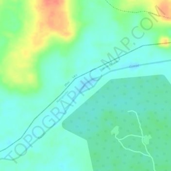
Name: Komoé River topographic map, elevation, terrain.
Location: Komoé River, Abengourou, Indénié-Djuablin, Comoé, Côte d'Ivoire (7.04564 -3.67837 7.04833 -3.67491)
Average elevation: 459 ft
Minimum elevation: 404 ft
Maximum elevation: 574 ft