

Tangail topographic map
Click on the map to display elevation.
Tangail
The city of Tangail is in Dhaka Division, Central Bangladesh. The town lies in a low-lying floodplain near the Jamuna River, south of the high plateau of the Madhupur tract. The average elevation of Tangail is 14 meters (49 feet). Tangail experiences a Tropical savanna climate(Köppen: Aw ) with a hot, humid tropical wet season (monsoon season) and warm, dry winter with high humidity year-round. The yearly average temperature in Tangail is 27.5 °C, and the average rainfall is 1817 mm.
About this map
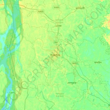
Name: Tangail topographic map, elevation, terrain.
Average elevation: 36 ft
Minimum elevation: 7 ft
Maximum elevation: 79 ft