
Sankt Michael topographic map
Interactive map
Click on the map to display elevation.
About this map
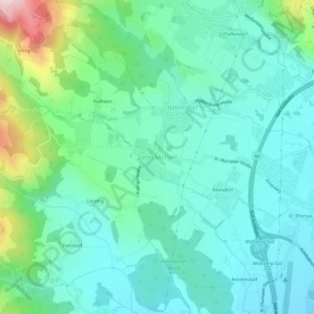
Name: Sankt Michael topographic map, elevation, terrain.
Average elevation: 1,722 ft
Minimum elevation: 1,430 ft
Maximum elevation: 2,736 ft
Other topographic maps
Click on a map to view its topography, its elevation and its terrain.
Großedling
Österreich > Kärnten > Bezirk Wolfsberg > Wolfsberg
Großedling, Wolfsberg, Bezirk Wolfsberg, Kärnten, 9400, Österreich
Average elevation: 1,496 ft