
Sierra el Morrion topographic map
Interactive map
Click on the map to display elevation.
About this map
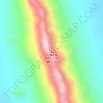
Name: Sierra el Morrion topographic map, elevation, terrain.
Location: Sierra el Morrion, Aldama, Chihuahua, México (29.01038 -105.57658 29.01048 -105.57648)
Average elevation: 5,253 ft
Minimum elevation: 4,505 ft
Maximum elevation: 6,703 ft
Other topographic maps
Click on a map to view its topography, its elevation and its terrain.
Los Leones
Los Leones, Aldama, Chihuahua, México
Average elevation: 4,360 ft