
高穴镇 topographic map
Interactive map
Click on the map to display elevation.
About this map
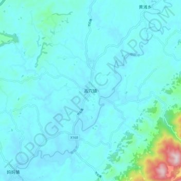
Name: 高穴镇 topographic map, elevation, terrain.
Location: 高穴镇, 大竹县, 达州市, 四川省, 中国 (30.56277 107.14327 30.64277 107.22327)
Average elevation: 1,273 ft
Minimum elevation: 1,076 ft
Maximum elevation: 2,986 ft
Other topographic maps
Click on a map to view its topography, its elevation and its terrain.