
Mildensee topographic map
Interactive map
Click on the map to display elevation.
About this map
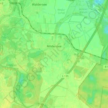
Name: Mildensee topographic map, elevation, terrain.
Location: Mildensee, Dessau, Dessau-Roßlau, Sachsen-Anhalt, Deutschland (51.79860 12.25048 51.84389 12.32374)
Average elevation: 207 ft
Minimum elevation: 174 ft
Maximum elevation: 226 ft
Other topographic maps
Click on a map to view its topography, its elevation and its terrain.
Dessau
Deutschland > Sachsen-Anhalt > Dessau-Roßlau
Dessau, Dessau-Roßlau, Sachsen-Anhalt, 06844, Deutschland
Average elevation: 203 ft