
Chivor topographic map
Interactive map
Click on the map to display elevation.
About this map
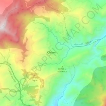
Name: Chivor topographic map, elevation, terrain.
Location: Chivor, Boyacá, Colombia (4.84804 -73.40832 4.92804 -73.32832)
Average elevation: 6,345 ft
Minimum elevation: 4,147 ft
Maximum elevation: 9,698 ft