
Forest Glen topographic map
Interactive map
Click on the map to display elevation.
About this map
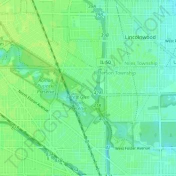
Name: Forest Glen topographic map, elevation, terrain.
Location: Forest Glen, Chicago, Cook County, Illinois, 60646, USA (41.96796 -87.79033 42.01561 -87.72640)
Average elevation: 617 ft
Minimum elevation: 597 ft
Maximum elevation: 630 ft
Other topographic maps
Click on a map to view its topography, its elevation and its terrain.
Rogers Park
Rogers Park, Chicago, Cook County, Illinois, USA
Average elevation: 600 ft
Garfield Ridge
Garfield Ridge, Chicago, Cook County, Illinois, USA
Average elevation: 604 ft