
Okinawa topographic map
Interactive map
Click on the map to display elevation.
About this map
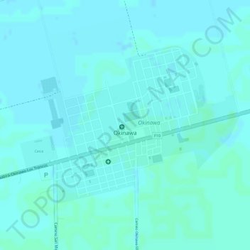
Name: Okinawa topographic map, elevation, terrain.
Location: Okinawa, Provincia Warnes, SCZ, SANTA CRUZ, Bolivia (-17.22649 -62.90406 -17.20927 -62.88457)
Average elevation: 830 ft
Minimum elevation: 823 ft
Maximum elevation: 837 ft