
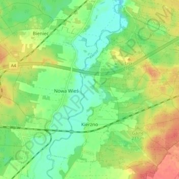
Herrmannsdorf topographic map
Interactive map
Click on the map to display elevation.
About this map
Name: Herrmannsdorf topographic map, elevation, terrain.
Average elevation: 646 ft
Minimum elevation: 571 ft
Maximum elevation: 745 ft
Other topographic maps
Click on a map to view its topography, its elevation and its terrain.
Bolesławiec
Polen > Woiwodschaft Niederschlesien > Kreis Bunzlau > Bunzlau
Bolesławiec, Bunzlau, Kreis Bunzlau, Woiwodschaft Niederschlesien, Polen
Average elevation: 663 ft