
Estaon topographic map
Interactive map
Click on the map to display elevation.
About this map
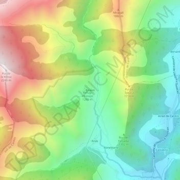
Name: Estaon topographic map, elevation, terrain.
Location: Estaon, Vall de Cardós, Pallars Sobirá, Cataluña, 25571, España (42.56762 1.19131 42.60762 1.23131)
Average elevation: 4,705 ft
Minimum elevation: 2,966 ft
Maximum elevation: 7,339 ft