
Ivy Ridge topographic map
Interactive map
Click on the map to display elevation.
About this map
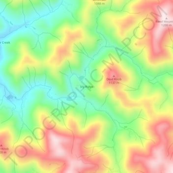
Name: Ivy Ridge topographic map, elevation, terrain.
Location: Ivy Ridge, Madison County, North Carolina, USA (35.89177 -82.60847 35.93177 -82.56847)
Average elevation: 3,110 ft
Minimum elevation: 2,398 ft
Maximum elevation: 3,921 ft