
八义镇 topographic map
Interactive map
Click on the map to display elevation.
About this map
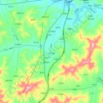
Name: 八义镇 topographic map, elevation, terrain.
Location: 八义镇, 上党区, 长治市, 山西省, 中国 (35.92239 112.95844 36.01387 113.06687)
Average elevation: 3,478 ft
Minimum elevation: 3,107 ft
Maximum elevation: 4,239 ft
Other topographic maps
Click on a map to view its topography, its elevation and its terrain.