
下河村 topographic map
Interactive map
Click on the map to display elevation.
About this map
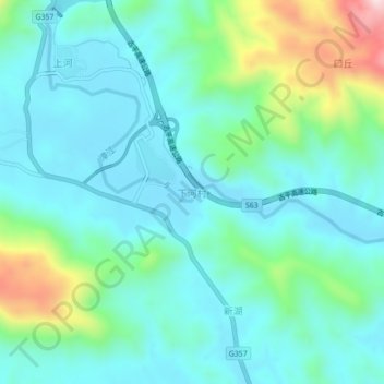
Name: 下河村 topographic map, elevation, terrain.
Location: 下河村, 云霄县, 漳州市, 福建省, 中国 (23.99833 117.26639 24.03833 117.30639)
Average elevation: 335 ft
Minimum elevation: 36 ft
Maximum elevation: 1,404 ft
Other topographic maps
Click on a map to view its topography, its elevation and its terrain.