
Los Millares topographic map
Interactive map
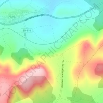
Click on the map to display elevation.
About this map
Name: Los Millares topographic map, elevation, terrain.
Location: Los Millares, Abejar, Soria, Castilla y León, 42146, España (41.78840 -2.78225 41.80840 -2.76225)
Average elevation: 3,914 ft
Minimum elevation: 3,602 ft
Maximum elevation: 4,396 ft