
La Barre topographic map
Interactive map
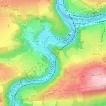
Click on the map to display elevation.
About this map
Name: La Barre topographic map, elevation, terrain.
Average elevation: 594 ft
Minimum elevation: 302 ft
Maximum elevation: 942 ft
Other topographic maps
Click on a map to view its topography, its elevation and its terrain.
Pont-de-Sçay
Belgique > Liège > Liège > Oneux
Pont-de-Sçay, Oneux, Comblain-au-Pont, Liège, Wallonie, 4170, Belgique
Average elevation: 630 ft