
Prairie Dog Town Fork Red River topographic map
Interactive map
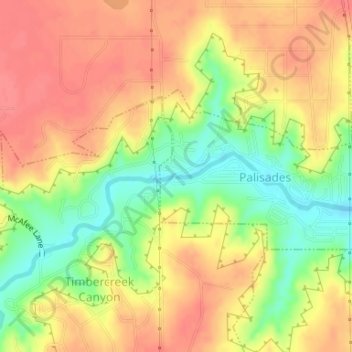
Click on the map to display elevation.
About this map
Name: Prairie Dog Town Fork Red River topographic map, elevation, terrain.
Average elevation: 3,524 ft
Minimum elevation: 3,399 ft
Maximum elevation: 3,606 ft