
草湖濕地自然保護區 topographic map
Interactive map
Click on the map to display elevation.
About this map
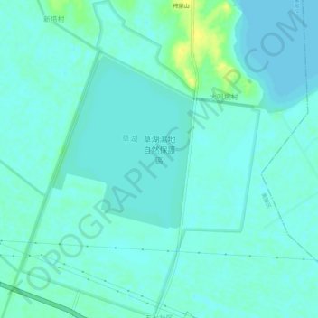
Name: 草湖濕地自然保護區 topographic map, elevation, terrain.
Location: 草湖濕地自然保護區, 四环线, 三湖湾, 黄陂区, 武汉市, 湖北省, 中国 (30.73880 114.44800 30.78202 114.48587)
Average elevation: 62 ft
Minimum elevation: 46 ft
Maximum elevation: 112 ft